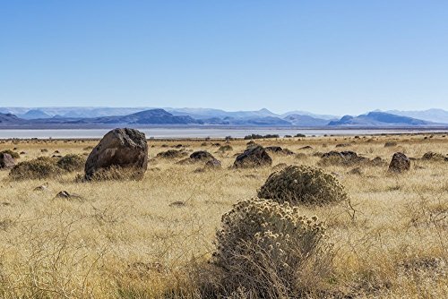
Harney Valley
As by common consent we called it, is, I should judge, 80 miles long by 50 broad, and about 6,000 feet above the level of the sea; about half of its area is occupied by Harney Lake, which lake is constantly fed by several large streams rising in the mountains and flowing through numerous canyons on every side of the valley’s circumference. The lake does not appear to have any outlet, and later in the season is probably of much less size, as many of the streams flowing towards it sink; its waters are said to be very alkaline, of which I had no opportunity to judge, but which is probable, as I observed the peculiar alkaline incrustation on the greater part of the valley which we travelled.
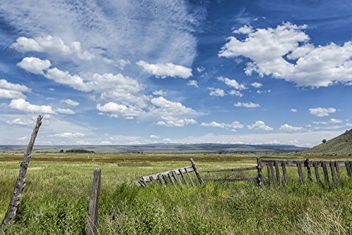
The valley, with the exception of little portions of it, extending in the canyons, is a vast, sterile sage plain, almost destitute of game, though we saw a few antelope, jackass rabbits and sage chickens. Hot or thermal springs are said to be numerous in the valley; though I saw but one, it was steaming away finely, indicating a rather unpleasant proximity to regions unmentionable. The bluffs and table land in the midst of the valley look like islands at sea, and strongly favor the idea that the whole expanse of the valley was once an inland ocean. The mountains surrounding the valley at this time of year are all snow covered; the greater portion of them probably throughout the year.
by Hyas Cultus, Morning Oregonian correspondent
Waymire’s March Expedition
April 24, 1864

Harney Lake, OR USGS Historical Topographic Map